Osmaniye history: a modern town in an older landscape
Osmaniye takes its name from Hacı Osmanlı, the village chosen as the center of a new district in 1865. That date explains the modern town’s beginnings. The history of the surrounding province reaches much further back, including the eighth-century BCE frontier fortress at Karatepe-Aslantaş.
Osmaniye is a provincial capital in Turkey’s Mediterranean Region, standing 121 meters above sea level. Its province lies within Çukurova, the geographical area associated with historical Cilicia. If you are exploring its history, this distinction matters: the town established in 1865 sits within a landscape containing much older settlements and monuments.
The region became part of Ottoman territory during Yavuz Sultan Selim’s Egyptian campaign in 1516. Osmaniye’s emergence as a town came later, through the Fırka-i Islâhiyye’s work to settle tribal communities in the region. These two dates describe different stages: Ottoman incorporation in 1516 and the town’s formation in 1865.
Where does the name Osmaniye come from?
The municipality’s historical account traces Osmaniye’s name to Hacı Osmanlı. This village was selected as the administrative center of the new district. The name therefore connects the town directly to the settlement chosen during the administrative changes of 1865.
According to the same account, an imperial decree dated 2 October 1865 established Osmaniye district and attached it to Payas Sanjak. Hacı Osmanlı supplied both the location of the district center and the basis for its name. You can therefore connect the name Osmaniye to a specific village and a dated administrative decision.
The Fırka-i Islâhiyye’s settlement activity also left names in the surrounding countryside. Dervişiye and Cevdetiye were named after Derviş Paşa and Cevdet Paşa, its administrators. Alongside Osmaniye, these village names preserve references to the people and places involved in the regional changes.
Ancient history at Karatepe-Aslantaş and Kastabala
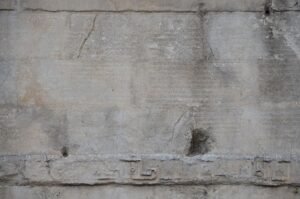
Within Kadirli’s boundaries, Karatepe-Aslantaş was a frontier fortress called Azatiwataya in the eighth century BCE. It is associated with the ruler Azatiwatas. Its inscriptions record the same account in two writing systems: the Phoenician alphabet and Luwian hieroglyphs.
Karatepe-Aslantaş also stands on the historical Akyol caravan route. This route connected Çukurova with Central Anatolia through Andırın and Göksun. When you place the fortress on that route, its setting becomes easier to understand: it belonged to a landscape crossed by a documented caravan connection.
The site’s modern protection has several distinct dates. Karatepe-Aslantaş National Park was established in 1958 within Kızyusuflu village in Kadirli. It protected the archaeological site together with the surrounding forests. The archaeological site entered the UNESCO World Heritage Tentative List on 14 April 2020.
In 2025, the Karatepe-Aslantaş inscriptions entered UNESCO’s Memory of the World International Register. This recognition concerns the inscriptions. It is separate from the archaeological site’s inclusion on the World Heritage Tentative List in 2020.
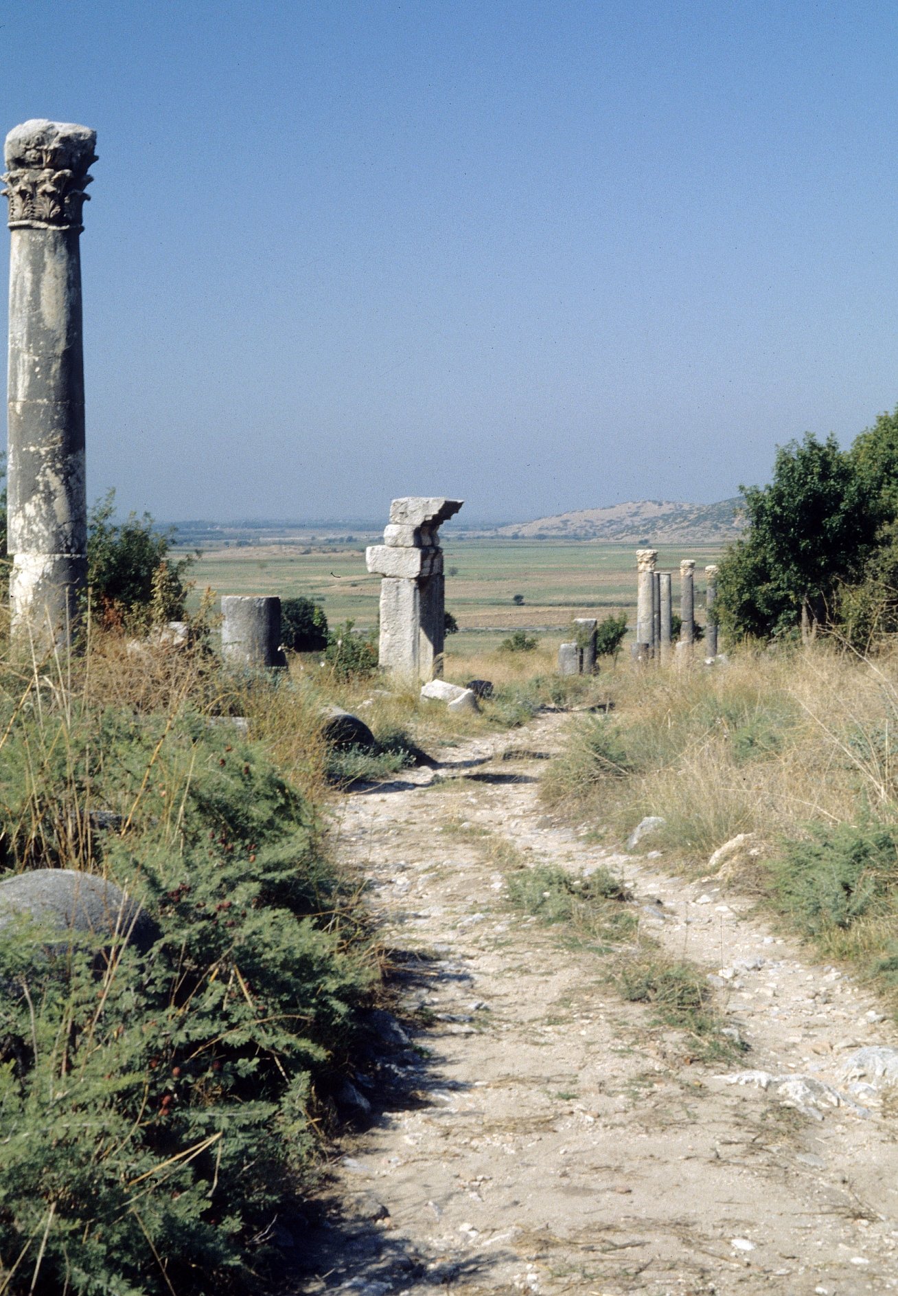
Kastabala-Hierapolis offers another ancient destination near Osmaniye. It lies approximately 12 kilometers north-northwest of the city center, close to the Ceyhan River. Inscriptions found there by Theodore Bent in 1890 established that Hierapolis was another ancient name for Kastabala.
Castles beside roads and junctions
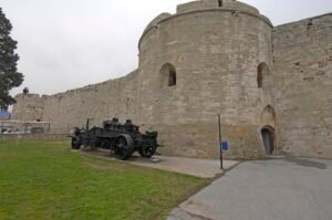
Toprakkale Castle stands approximately 10 kilometers from Osmaniye, at the junction of the Adana and İskenderun roads. It occupies a built-up hill 75 meters high. Its position gives you a concrete geographical link between the monument and the roads around it.
During the Ottoman period, Toprakkale was called Kınık Castle. It has a rectangular plan, 12 towers, and walls around an outer courtyard. Its Ottoman name and surviving layout provide two different ways to read the same monument: through its recorded identity and its physical form.
Harun Reşit Castle lies approximately three kilometers northeast of Düziçi. The provincial culture and tourism directorate dates its construction to 799 and attributes it to Faraç Bey. The directorate states that it was built to protect strategic roads.
Historic mosques and the dates they preserve
In central Osmaniye, Envar-ül Hamit Mosque was commissioned in 1890 by Hacı Hüseyin Efendi and Hacı Bicik Efendi. Its construction belongs to the period after the district’s establishment in 1865. The named patrons and construction date make it a specific landmark in the town’s later Ottoman history.
In Bahçe, Ağcabey Mosque has a doorway inscription naming Ağca Bey and giving the year 1224 in the Hijri calendar, corresponding to 1809. Its minaret has spiral grooves and muqarnas decoration beneath the balcony. The building therefore offers both a dated inscription and identifiable architectural details.
An earlier date has also been proposed for the mosque’s masonry sections and minaret. This claim places them in Alaüddevle’s period, in 1489–1490. The Culture Portal does not confirm that attribution; the existing inscription gives 1809. These dates should retain their different levels of certainty.
Kadirli’s Ala Cami preserves a naming history of its own. Kasım Bey, son of Dulkadiroğlu Alaüddevle Bozkurt Bey, converted a church into a mosque. The resulting name, Alaüddevle Mescidi, was shortened in popular speech to Ala Cami.
Details you won’t find in guidebooks
Ala Cami connects monumental history with everyday food supplies. During the summers of 1873–1875, it served as a granary for grain collected through the aşar tax. This documented use links the building to taxation and the storage of an everyday staple.
The names Dervişiye and Cevdetiye preserve another small historical detail. They refer to Derviş Paşa and Cevdet Paşa, administrators of the Fırka-i Islâhiyye. These names connect surrounding villages with the settlement program associated with Osmaniye’s emergence in 1865.
Approximately two kilometers north of the Karatepe-Aslantaş Museum, the Crusader-period Kum Castle lies beneath the waters of the Aslantaş Reservoir. The history around Karatepe-Aslantaş thus includes a submerged castle as well as the protected archaeological site and forests.
At Kastabala, the year 1890 marks a discovery about the city’s name. Inscriptions found by Theodore Bent established its identification with Hierapolis. In Osmaniye’s center, that same year marks the construction of Envar-ül Hamit Mosque, bringing two separate local historical events onto the same date.
From Cebelibereket to provincial status
French troops left Osmaniye on 7 January 1922 during the withdrawal process following the Ankara Agreement. In the early years of the Republic, Cebelibereket Sanjak became a province, with Osmaniye as its capital.
That provincial role changed on 1 June 1933. Osmaniye became a district attached to Adana Province. Its administrative history therefore includes both service as a provincial capital and a later period under Adana.
Osmaniye regained provincial status through Law No. 4200. The law was adopted on 24 October 1996. It entered into force upon publication in issue No. 22801 of the Official Gazette on 28 October 1996. The adoption and effective dates are separate steps in the same change.
Timeline
- Eighth century BCE: Karatepe-Aslantaş was a frontier fortress called Azatiwataya.
- 799: Harun Reşit Castle was built, according to the provincial culture and tourism directorate’s dating.
- 1516: The Osmaniye region became part of Ottoman territory.
- 1809: The construction date recorded by Ağcabey Mosque’s existing inscription.
- 2 October 1865: Osmaniye district was established with Hacı Osmanlı as its center, according to the municipality.
- 1890: Envar-ül Hamit Mosque was built. Inscriptions found by Theodore Bent identified Kastabala with Hierapolis.
- 7 January 1922: French troops withdrew from Osmaniye.
- Early Republican years: Osmaniye became the capital of Cebelibereket Province.
- 1 June 1933: Osmaniye became a district of Adana.
- 1958: Karatepe-Aslantaş National Park was established.
- 24 October 1996: Law No. 4200 restoring provincial status was adopted.
- 28 October 1996: The law was published and entered into force.
- 14 April 2020: Karatepe-Aslantaş entered the UNESCO World Heritage Tentative List.
- 2025: Its inscriptions entered UNESCO’s Memory of the World International Register.
FAQ
Where does the name Osmaniye come from?
The name derives from Hacı Osmanlı, the village chosen as the center of the new Osmaniye district in 1865.
When was Osmaniye established?
Osmaniye emerged as a town in 1865 during the settlement work of the Fırka-i Islâhiyye. According to the municipality, an imperial decree established the district on 2 October 1865.
When did Osmaniye become a province again?
Law No. 4200 was adopted on 24 October 1996. It entered into force when published in the Official Gazette on 28 October 1996.
What is the historical importance of Karatepe-Aslantaş?
Karatepe-Aslantaş was the eighth-century BCE frontier fortress of Azatiwataya, associated with the ruler Azatiwatas. Its bilingual inscriptions record the same account in the Phoenician alphabet and Luwian hieroglyphs.
Sources
- Vikipedi — Osmaniye tr.wikipedia.org
- Wikipedia — Osmaniye Province en.wikipedia.org
- TDV İslâm Ansiklopedisi — Osmaniye islamansiklopedisi.org.tr
- Osmaniye Belediyesi — Osmaniye Tarihçesi osmaniye-bld.gov.tr
- Osmaniye İl Özel İdaresi — Kısa Tarihçesi osmaniyeozelidare.gov.tr
- TBMM Tutanak Dergisi — Interior Minister’s Written Answer on Osmaniye cdn.tbmm.gov.tr
- Osmaniye İl Kültür ve Turizm Müdürlüğü — Envar-ül Hamit Camii osmaniye.ktb.gov.tr
- Kültür Portalı — Ağacabey Camii kulturportali.gov.tr
- Osmaniye İl Kültür ve Turizm Müdürlüğü — Ala Camii osmaniye.ktb.gov.tr
- Osmaniye Valiliği — Toprakkale Kalesi osmaniye.gov.tr
- Osmaniye İl Kültür ve Turizm Müdürlüğü — Kaleler osmaniye.ktb.gov.tr
- Kültür Portalı — Kastabala Örenyeri kulturportali.gov.tr
- UNESCO World Heritage Centre — Karatepe-Aslantaş Archaeological Site whc.unesco.org
- UNESCO — Karatepe-Aslantaş Inscriptions unesco.org
- Osmaniye İl Kültür ve Turizm Müdürlüğü — Korunan Alanlar osmaniye.ktb.gov.tr
- Osmaniye Valiliği — Karatepe Müzesi osmaniye.gov.tr
Image: HierapolisCastabalaSäulenstraße.JPG — Klaus-Peter Simon, CC BY 3.0